Casey Simmons · 26 September 2026
The Interplay Between Maritime Logistics Networks and Adjacent Urban Land Use Patterns
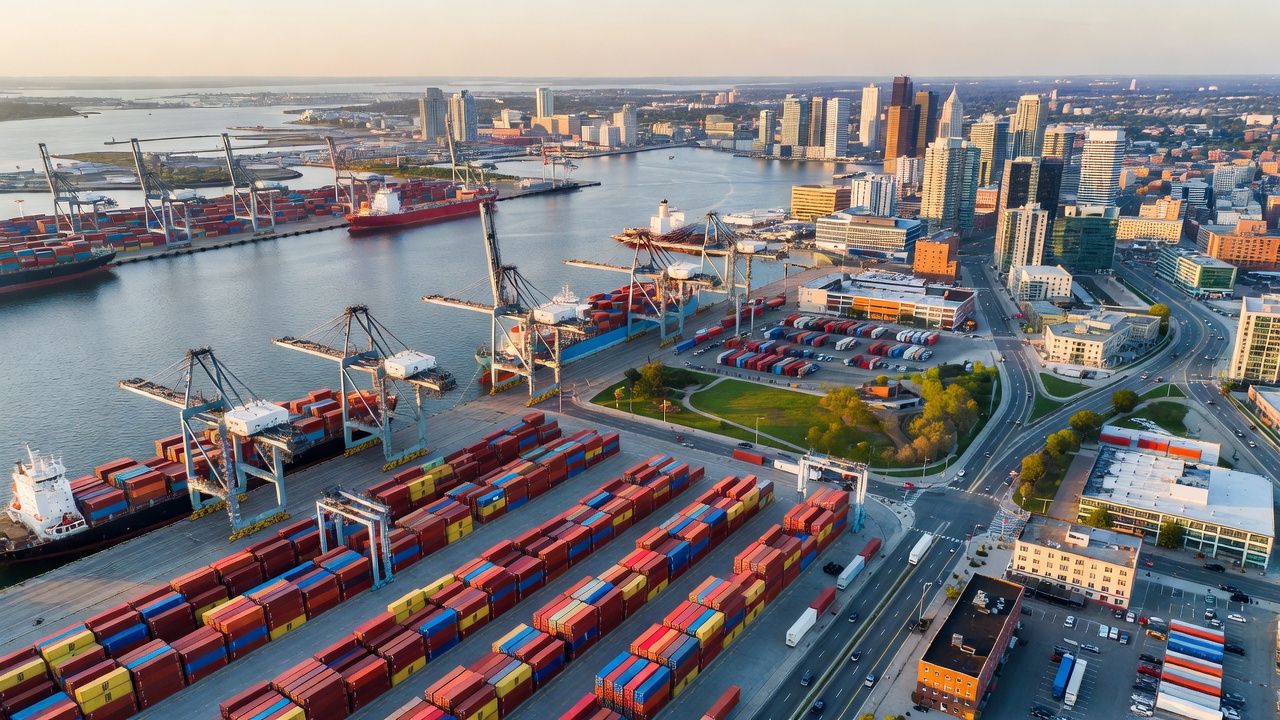
Maritime logistics networks shape land use patterns in coastal cities through cargo flows, terminal expansions, and supporting infrastructure that extend well beyond the waterfront itself. Researchers have documented how container terminals, bulk handling facilities, and warehousing zones compete with residential, commercial, and recreational uses for limited shoreline space. Data from multiple port regions show that efficient road and rail connections often determine whether industrial zones cluster near docks or spread inland, altering zoning decisions made by municipal planners over successive decades.
Historical Expansion and Zoning Shifts
Port authorities began reconfiguring urban edges after the introduction of standardized containers in the mid-twentieth century, which required larger yards and deeper channels. Cities responded by designating heavy industrial districts adjacent to berths while pushing lighter commercial activity farther inland. Studies conducted by transport economists indicate that these early zoning choices still constrain redevelopment options today because legacy rail corridors and truck routes remain embedded in the urban fabric. Observers note that many European and North American ports saw their immediate hinterlands transition from mixed residential neighborhoods to logistics parks once container volumes exceeded breakbulk capacities in the 1970s and 1980s.
Contemporary Pressures on Adjacent Districts
Modern supply chains demand rapid turnaround times, which translates into 24-hour operations and continuous truck movements. Municipal records from several major gateways reveal rising conflicts over noise, air quality, and traffic congestion in neighborhoods that developed within two kilometers of active terminals. Planners have responded with buffer zones, grade-separated rail crossings, and designated truck corridors that separate freight from passenger routes. Figures compiled by regional transport agencies demonstrate that such interventions can reduce community exposure to emissions while preserving freight throughput, yet they also consume additional land that might otherwise support housing or green space.
Case Examples from Different Regions
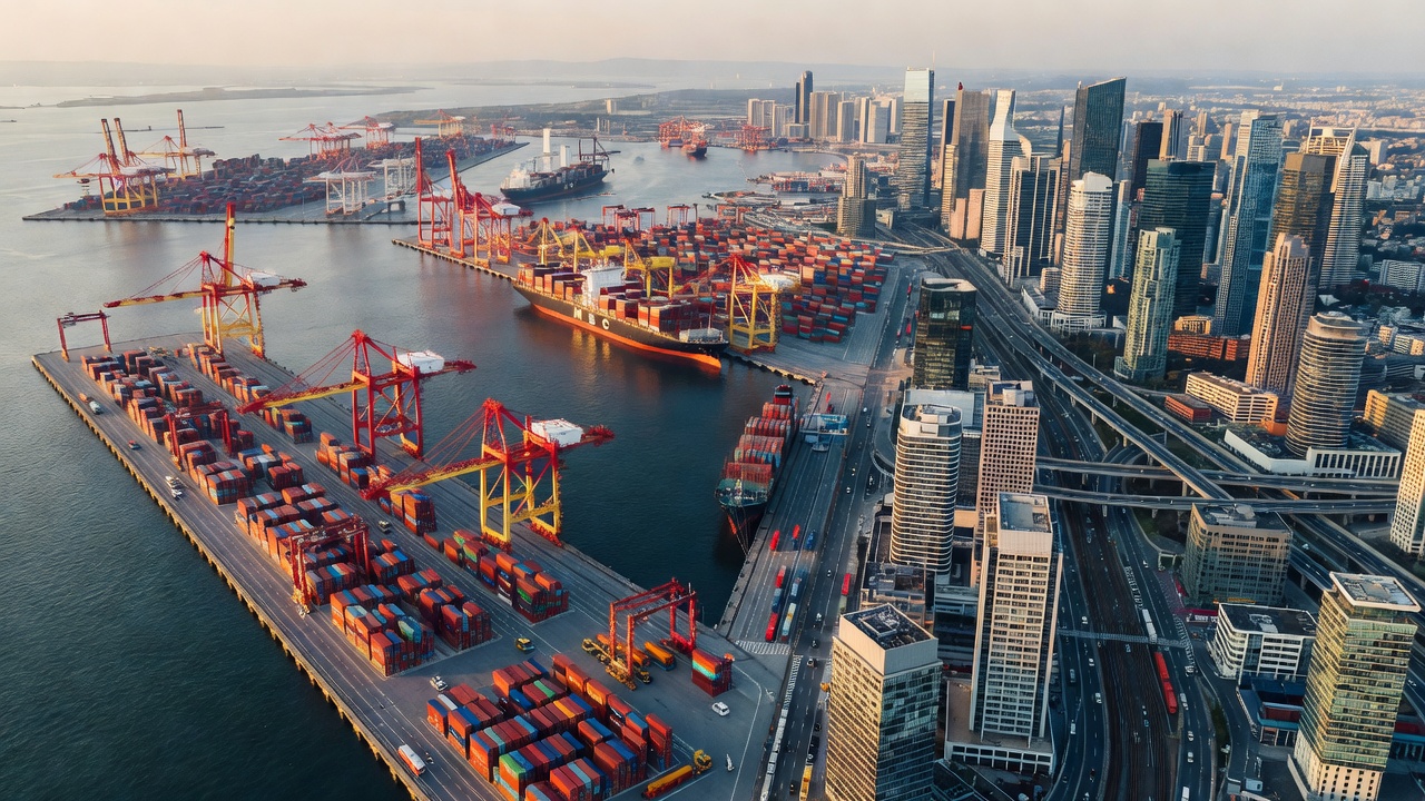
One study of land-use changes around the Port of Vancouver showed that industrial zoning expanded by roughly 18 percent between 2005 and 2020 to accommodate new intermodal yards, while residential development was directed toward higher ground farther from the water. Similar patterns appear in Australian ports where state governments coordinated with federal infrastructure programs to reserve freight corridors. In contrast, some Asian port cities have integrated logistics functions vertically through multi-level terminals and automated stacking systems that reduce horizontal land requirements. Researchers tracking these variations emphasize that governance structures, rather than geography alone, determine how much adjacent land remains available for non-industrial uses.
Policy Instruments and Planning Tools
Land-use plans increasingly incorporate freight demand forecasts that project volumes through 2035 and beyond. European Union guidelines on trans-European transport networks encourage member states to align port master plans with regional spatial strategies, creating incentives for brownfield redevelopment instead of greenfield sprawl. In North America, metropolitan planning organizations use freight data layers within geographic information systems to identify parcels most suitable for warehousing while protecting sensitive ecological areas. Analysts at Transport Canada have published maps showing how protected agricultural land near certain terminals limits further industrial conversion, forcing logistics operators to consider inland terminals connected by short-sea shipping or dedicated rail shuttles.
September 2026 Developments on the Horizon
Updated environmental regulations scheduled to take effect in September 2026 will require ports in several jurisdictions to submit detailed land-use compatibility assessments before expanding cargo-handling capacity. These assessments must quantify cumulative impacts on adjacent communities, including cumulative traffic loads and land conversion rates. Port authorities are already modeling scenarios that test whether automation and higher-density storage can meet growth targets without additional shoreline acreage. Preliminary reports suggest that facilities investing in electric automated guided vehicles and shore power infrastructure may gain regulatory approval more readily under the new framework.
Future Trajectories and Research Directions
Long-term modeling by academic teams at multiple universities projects that climate adaptation measures such as elevated terminals and setback requirements will further reshape urban footprints around ports. Data indicate that cities investing early in multi-modal inland hubs experience slower rates of waterfront industrial sprawl because cargo can be sorted and distributed from locations farther from the coast. Continued monitoring of land-use change through satellite imagery and cadastral records will help planners test whether current policy tools remain effective as vessel sizes and cargo volumes continue to increase.
Conclusion
Maritime logistics networks and adjacent urban land use patterns remain tightly coupled through infrastructure investments, regulatory frameworks, and economic pressures that evolve over time. Evidence from diverse port regions shows that successful management depends on coordinated planning across multiple levels of government and the consistent application of data-driven tools. As new environmental standards approach in September 2026, the ability of cities to balance freight efficiency with livability will depend on decisions made today about zoning, connectivity, and land reservation.